Data & Digital Scholarship
Geographic Information Systems (GIS) Services
Geographic Information Systems (GIS) Services
 The Libraries support the needs of the university community by providing patrons with resources needed to expedite GIS use for teaching and research. Geographic Information Systems (GIS) Services is responsible for developing geospatial collections (both commercial and public domain) needed by our patrons.
The following assistance is available to students, faculty, and staff who are involved with a GIS-related project, research, or assignment:
- Evaluating GIS as a suitable tool for solving a research need
- GIS projects
- Locating spatial data
- Formatting and projecting spatial data
- Geocoding
- GPS questions
- ESRI Virtual Campus Training – UT Affiliates interested in free virtual (self paced) GIS training with ESRI software (ESRI Virtual Campus) can choose from a list of courses. After selecting a course(s), please email Eric Arnold, GIS Specialist, who will send you course codes with instructions. Please use your UTK email address when emailing.
Please call (865) 974-8570 or email Eric Arnold, arnold@utk.edu, GIS Specialist to get started or visit the UT Geographic Information Systems (GIS) Services Hub for more information.
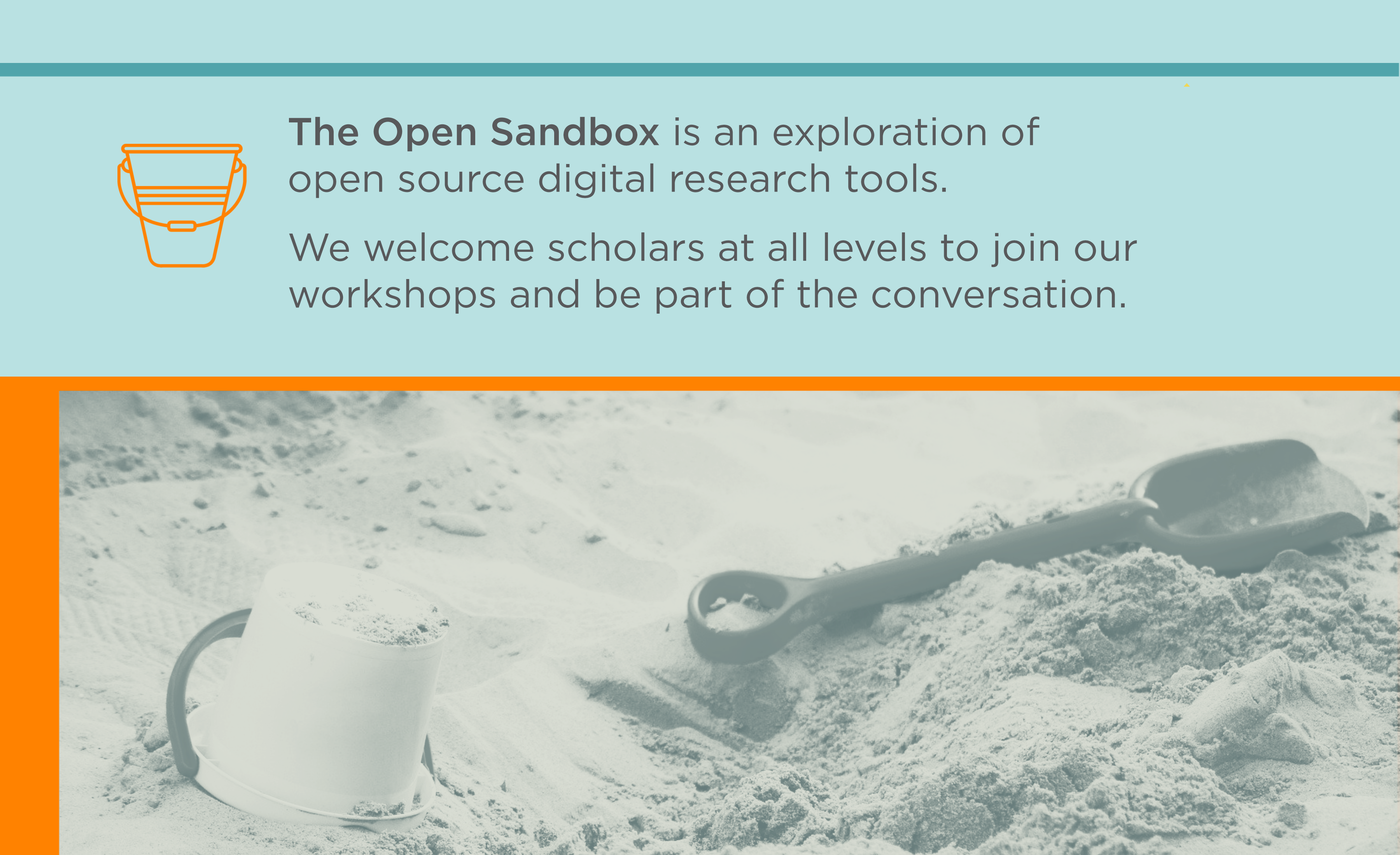
The Open Sandbox
Join us for an exploration of open source digital research tools. Workshops are open to all.
Recent News
More News- UT Libraries Collection Review: Facts and Questions
- UT Libraries Reviewing Physical Collections to Meet Campus Needs
- Mental Wellness Lunch & Learn
- Carolyn Finney on Race and the Great Outdoors: Whose Stories Do We Tell?
- Amythyst Kiah: free performance March 20 at KMA
- Medbery Makerspace: Take our Certification Workshop
- Exhibit in Special Collections Honors Frederick Douglass, Black History Month
- Library Storage Annex Update from UT Knoxville Campus Advisory Board Meeting